


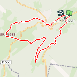

7,6 km | 9,6 km-effort


Gebruiker


Gratisgps-wandelapplicatie
 SityTrail
IGN / Geografische instituten
SityTrail World
De wereld gaat voor u open
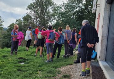
Tocht Mountainbike van 9,9 km beschikbaar op Auvergne-Rhône-Alpes, Ain, Le Poizat-Lalleyriat. Deze tocht wordt voorgesteld door tracegps.
Espace VTT - FFC du Bugey - Circuit n° 10 - Le Poizat Circuit officiel labellisé par la Fédération Française de Cyclisme. Le relief de moyenne montagne du Plateau d’Hauteville permet tout naturellement la pratique du VTT. Des itinéraires accessibles à tous, du vététiste bucolique au plus sportif.


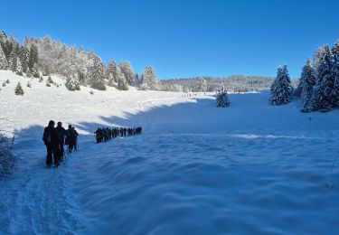
Sneeuwschoenen

Stappen
Stappen
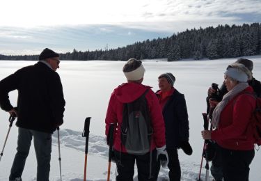
Sneeuwschoenen
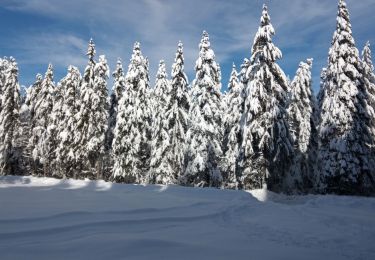
Sneeuwschoenen
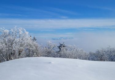
Sneeuwschoenen
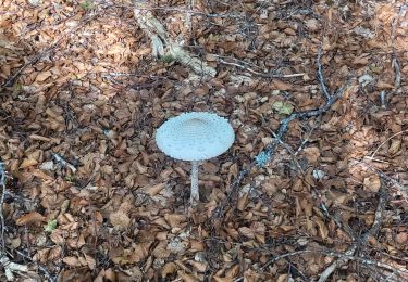
Stappen
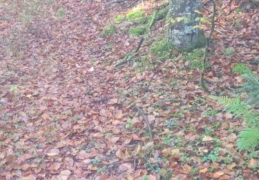
Stappen
Stappen